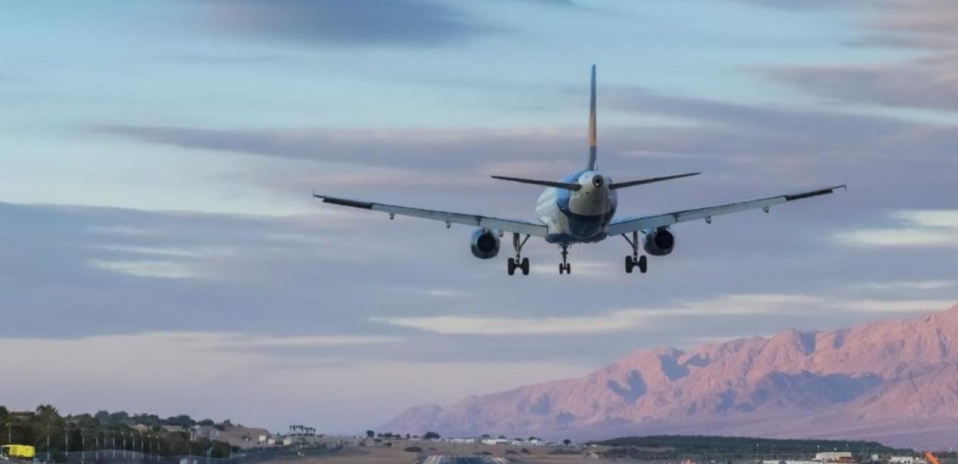
Meet the planes that find their own way home


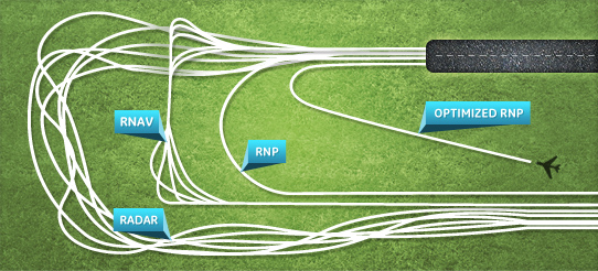
Using a technology called required navigation performance (RNP) flight navigation systems are now able to plot a route through a 3 dimensional space, avoiding geographical features like mountains, as well as residential or security no-fly-zones.
RNP was first used to navigate through the treacherous Gastineau Channel in Alaska, in 1996, and quickly spread to other mountainous areas where traditional radio signal landing systems were ineffective.
According to Doug Kelley, Program Director for Flight Efficiency Services at GE Aviation, RNP enables the aircraft to design flight paths that are more flexible and efficient than traditional radio-signal landing paths.
“This allows us to design a flight path to take the aircraft to a runway with more precision, and respond to environmental concerns by reducing fuel consumption and aircraft noise,” Kelley explains.
Traditional air traffic control systems were based on radio signals emitted from the destination airport. These would indicate a straight line of descent to help the pilots find their way safely onto the runway.
Watch and see the hidden beauty of these paths of flight over the course of one day.
In mountainous regions like the Andes in South America, the Alaskan Fjords and Queenstown, New Zealand RNP has led to a massive reduction in flight cancellations, as it enables the pilot to land safely regardless of visibility.
“RNP technology was first adopted to let pilots navigate around geographical features such as mountains, and because it lets you weave in and out of terrain, it can be applied to avoid sensitive areas or urban zones,” says Kelley.
“Then there’s the improved safety and reduced operating costs, because the aircraft flies a more optimal route.”