All aboard Australia’s coolest laboratory


Capable of travelling 10,000 nautical miles in a voyage with up to 40 scientists and support staff, the 93.9-metre ship will travel from the equator to the Antarctic ice edge.
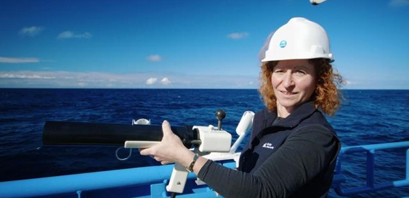
It’s easy to understand why marine geophysicist Dr Tara Martin was lured home to Australia from her beloved job at the British Antarctic Survey to join the CSIRO and set up the team supporting the vessel’s geophysical science research capabilities. “My domain on-board Investigator is the marine acoustics,” she explains of the suite of equipment mostly suspended about 1.2 metres beneath the ship’s hull in a gondola “shaped a bit like a space shuttle”. Martin’s work and that of Investigator were featured in the documentary interactive Innovation Never Sleeps, a collaboration between GE and the Guardian exploring the work of science and technology leaders.
Investigator is rated DNV Silent-R; one of the quietest vessels afloat, the ship has maximum ability to monitor the marine ecosystem. “If we come across a school of fish we can sneak up on them and do a surprise attack!” jokes Martin, who is group leader of Data Acquisition, Processing and Management and team leader, Geophysical Survey and Mapping. Silence is also critical for mapping the seafloor, she adds, because being “very acoustically quiet maximises the return” from the two multibeam echo sounders that are suspended beneath the hull, further isolated from the ship’s vibrations, which also helps scientists collect high-quality data.
Capable of travelling 10,000 nautical miles in a voyage with up to 40 scientists and support staff, the 93.9-metre ship will travel from the equator to the Antarctic ice edge. Scientists must apply for sea time to show why their research is deserving of a berth aboard the nation’s only blue-water research vessel. The voyage schedule is planned two years in advance, with applications for sea time peer reviewed and assessed for both the quality of the science and the potential contribution of that research to the national interest.
Investigator carries geoscientists, and atmospheric, oceanographic and biological researchers, on voyages of discovery. Among its many scientific goals are collecting data to assist communities to prepare for extreme weather events, improve our understanding of fish stocks and breeding grounds to promote sustainable fishing, and to continue mapping the seafloor of Australia’s Exclusive Economic Zone—a jurisdiction that covers more than 10 million square kilometres of marine jurisdiction, of which only 12 per cent has been mapped. “It took us 12 years to map about 12 per cent,” says Martin. “They were some of the easy bits! I’d say we’ve got at least 30, 40, 50 years’ more work to do. And even then, once it’s done, if newer technology comes along we might be able to do it better. Some of the soundings we use on our nautical charts are well over 200 years old. If we acquire the dataset right in the first place, people could still be using this data that we’re acquiring in 200 years.
The detail being captured via Investigator’s multibeam echo sounder systems is opening up a whole new world, complete with amazing 3D imagery that brings the seascape alive for scientists and laypeople alike. The geoscience research that will be conducted by scientists from Investigator will not only look at the seafloor, but beneath it. The sonar technology housed in the ship’s gondola sends acoustic signals up to 30 km wide in water to depths of 11.5 km, sending back data that builds 3D images of the sea floor’s canyons and mountains. “We’ll use the bathymetry systems to have a look at the shape and type of the seafloor. We measure how much of that information comes back. We call that backscatter. The sonar as it goes down is defracted and bounces off into the environment; not all of it comes back. So we measure how much comes back, and that gives us an idea of how hard or soft, and how rough or smooth the seafloor is. That means we can differentiate things like mud from sand, or sand from rock, and how rough that might be. And that’s important according to the type of equipment you want to sample that with. We also have a sub-bottom profiler, which gives us an idea of what kind of sediments we’re looking into.”
Investigator will make efficient use of its advanced capabilities, aiming to always navigate a course that covers uncharted areas of Australia’s Exclusive Economic Zone. “When we’re taking the vessel from A to B, we try to never go over the same piece of sea floor twice,” says Martin. “We try to run along the side of existing charts ... to build up a bathymetric map of the Australian marine environment. That then feeds into a whole variety of science. Having this bathymetric dataset feeds into oceanographic studies, it feeds into geological studies, it feeds into natural hazard studies, it feeds into fisheries-habitat management. It can feed into pretty much every fundamental-type marine science.”
Image credits: Pete Harmsen CSIRO/MNF